Cards List
FILTERED BY:
Map of Jerusalem's Old City, 1988

Map of Jerusalem’s Old City, 1988 CIE+ members only

The Old City of Jerusalem is divided into four religious quarters: Armenian, Christian, Jewish and Muslim areas. The overall population of the Old City is 34,000, 11 percent of whom are Jews. Jews account for 59 percent of the population of the Old City’s Jewish Quarter and 49 percent of the Armenian Quarter.

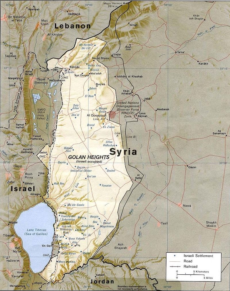
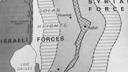
Map of Golan Heights After Israeli-Syrian Separation of Forces Agreement, May 1974

Map of Golan Heights After Israeli-Syrian Separation of Forces Agreement, May 1974 CIE+ members only

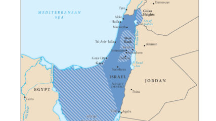
In the last days of the June 1967 War Israel secured a portion of the Syrian Golan Heights, estimated at 1300 sq km or 500 sq mi; Israel forces sit some 40 miles, 60km from Damascus. Before the June War, Israeli villages and populations in the valley were fired upon by Syrian forces from the Heights. In addition to being an important catchment for Jordan River waters which helps supply Israel’s water needs, the heights contain not fully explored hydrocarbon sources. In the northern Heights is Mt. Hermon which has strategic value for observing military movements into southern Lebanon and to Damascus.

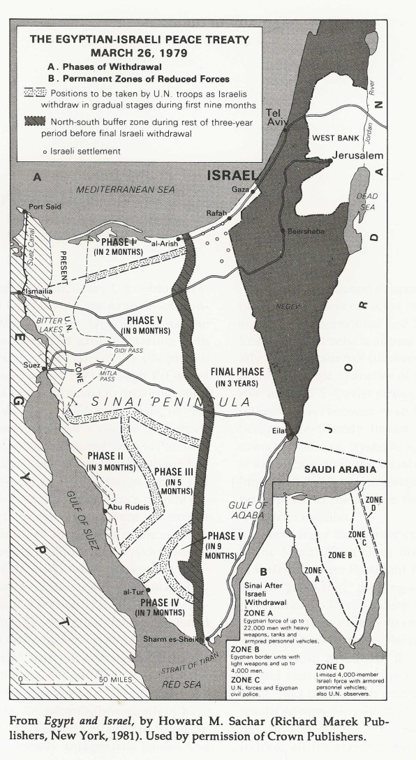
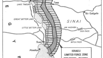
Map of Israeli-Egyptian Separation of Forces Agreement, January 1974

Map of Israeli-Egyptian Separation of Forces Agreement, January 1974 CIE+ members only

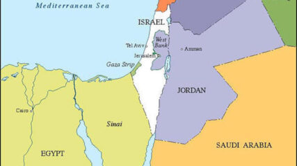
For Sadat, who had gone to war against Israel three months earlier, securing a military disengagement agreement was important. In addition, diplomatically engaging the US to secure the agreement meant entrenching Washington as a friend of Egypt. The US embraced the opportunity to quell tensions between Israel and Egypt, while squiring Cairo away from decades of Moscow’s embrace. Israel had its POWs returned and slowly tested Sadat’s broader intentions toward Jerusalem.

Maps of Israel|January 1974
Transcript of Secret Talks Between Egyptian National Security Adviser Hafez Ismail and U.S. National Security Adviser Henry Kissinger, 1973

Transcript of Secret Talks Between Egyptian National Security Adviser Hafez Ismail and U.S. National Security Adviser Henry Kissinger, 1973 CIE+ members only

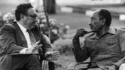
October 6, 2023, was the 50th anniversary of the outbreak of the October 1973 war. Six months prior, Egyptian President Sadat sent his national security adviser to meet with Secretary of State Kissinger to determine whether the U.S. would engage Egypt and Israel in serious mediation for a Sinai agreement, or a series of them, all focused on Israeli withdrawal and gradual acceptance of Israel. Kissinger did not take Sadat’s overtures seriously. Would American action then have avoided the October 1973 war? All informed analyses say no.

Documents and Sources|February 25-26, 1973
Allon Plan Map, 1967

Allon Plan Map, 1967 CIE+ members only

Drafted by Minister of Labor Yigal Allon after the June 1967 war, the plan envisages Israeli retention of a series of settlements and military installations along the Jordan Valley as buffers to a potential Arab land attack from the east.

Maps of Israel|July 26, 1967
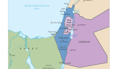
Map of Israel's Armistice Lines, 1949-1967

Map of Israel’s Armistice Lines, 1949-1967 CIE+ members only

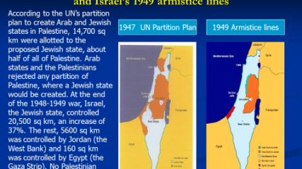
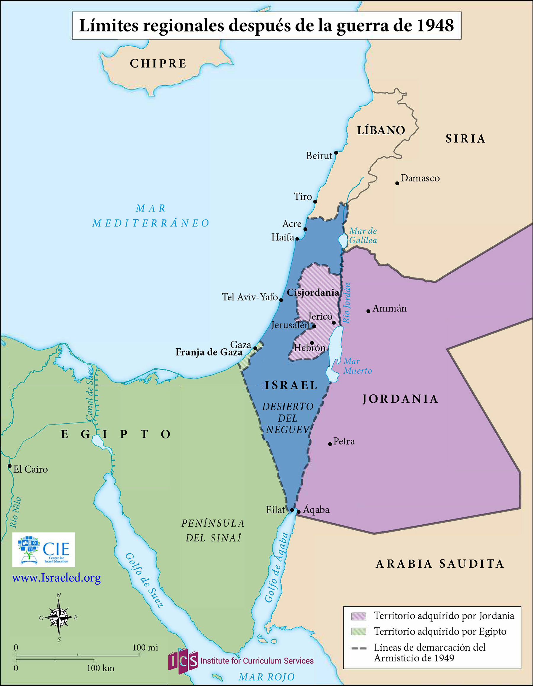
In the aftermath of the 1948 War of Independence, Israel signed armistice agreements with Egypt, Jordan, Syria, and Lebanon. These armistice lines lasted until the immediate aftermath of the June 1967 War. Israel has 1068 kilometers in land borders. Egypt 208 km, Gaza Strip 59 km, Jordan 307 km, Lebanon 81 km, Syria 83 km, and the West Bank 330 km; its Mediterranean coastline 273 km. CIA The World Factbook – Israel

Maps of Israel|1949-1967