A History of Israel’s Geography and GeologyCIE+
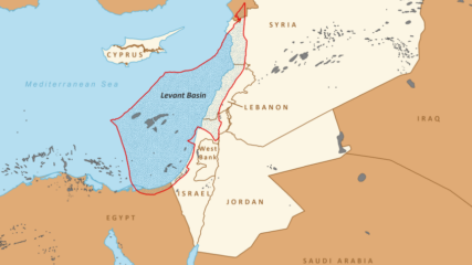
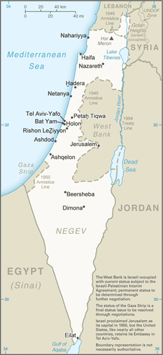
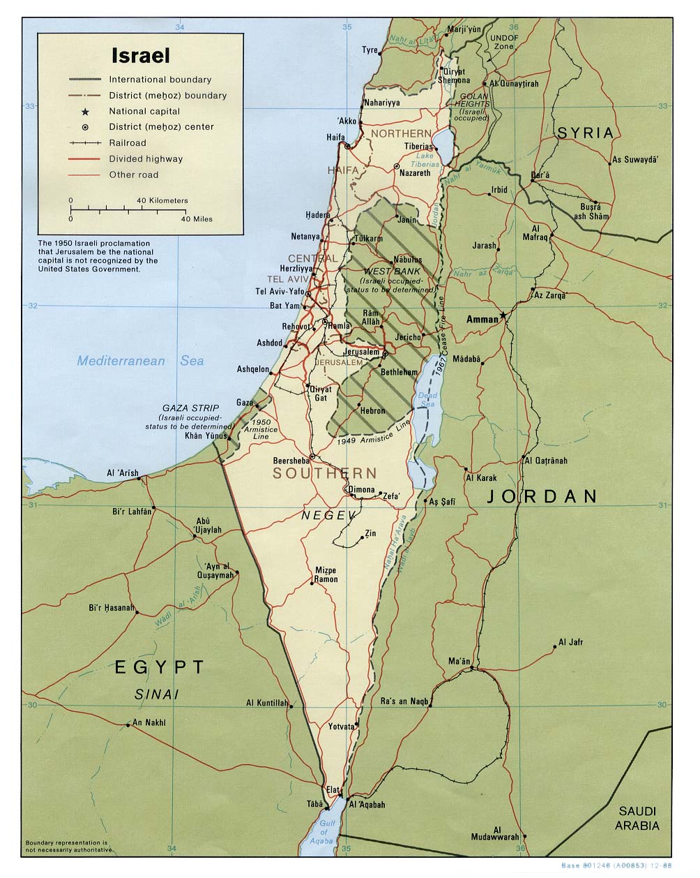
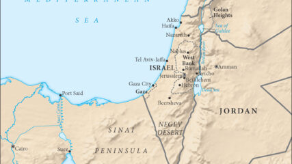
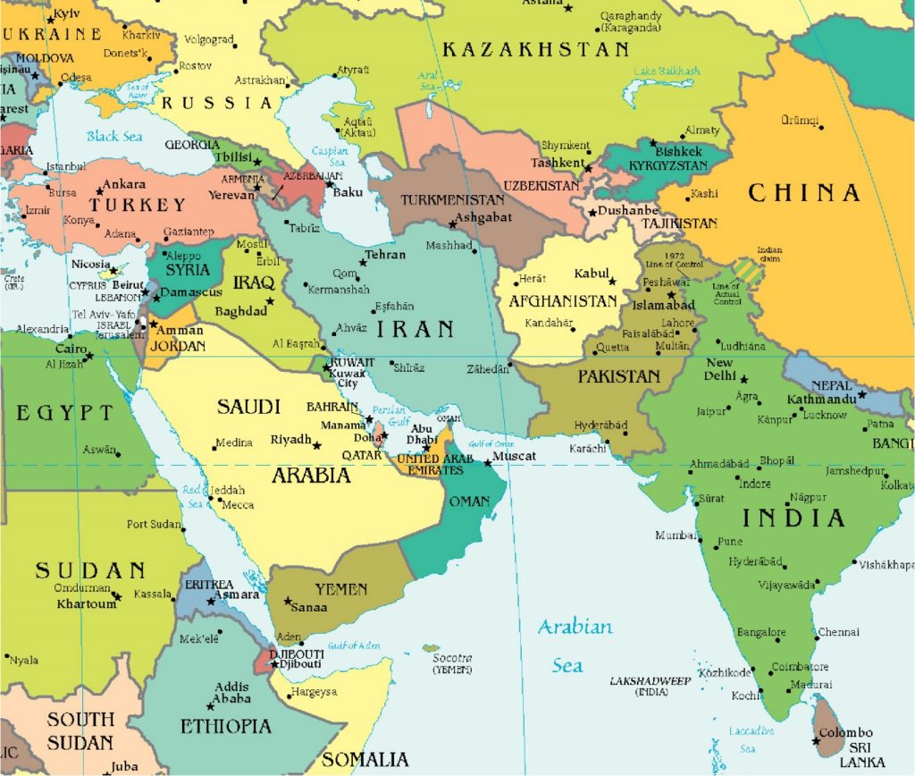
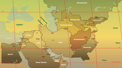
By Scott Abramson A Disadvantaged Land in a Pivotal Location The State of Israel lies at the eastern edge of the Mediterranean Sea, at the intersection of three continents: Asia, Africa and Europe. Together with…


