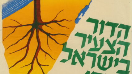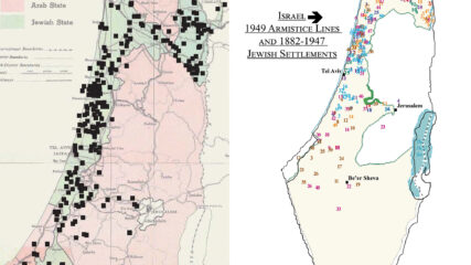
Maps: Forming a Nucleus for the Jewish State, 1882-1947 (Linking People to the Land) — Aliyah/Aliyot
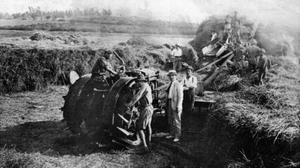
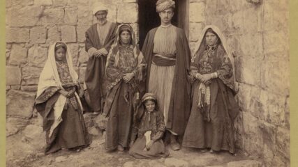
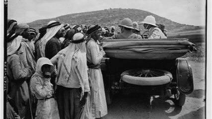
With 20 maps and prose, trace the progression of Jewish physical and demographic growth toward state building from 1882 to 1948 (25,000 to 600,000), with two-thirds in place by 1940.